


COMPASS SCHOOL
THE BASICS OF MAP READING
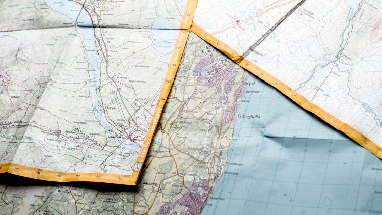
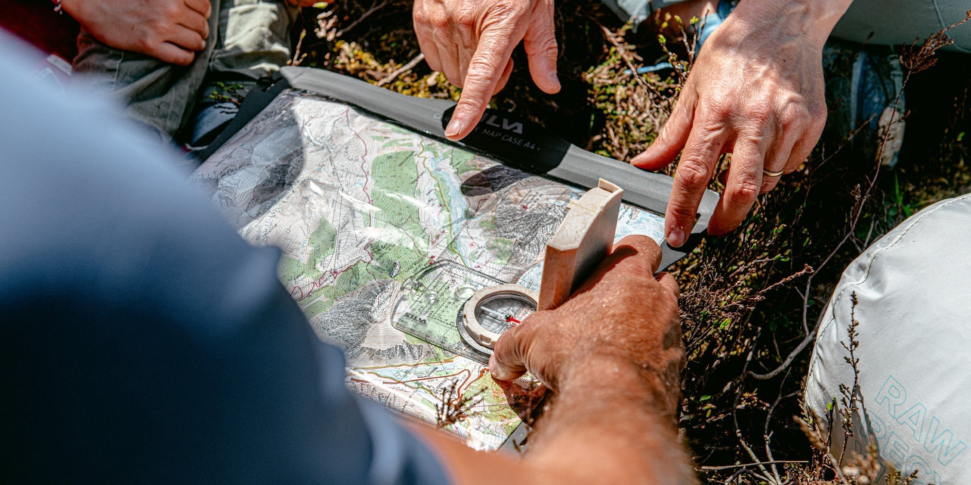
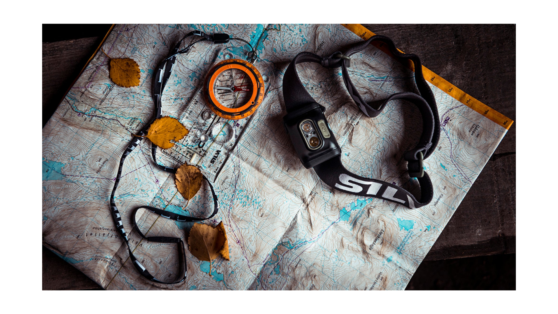
Being able to read and interpret a map is an important part of navigation. Here, we explain the basic map symbols and concepts that help you understand the terrain and plan your route.
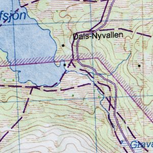
COLOUR CODES
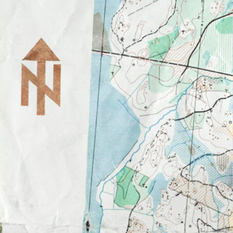
Topographic maps use colour codes to represent different types of terrain. Blue indicates water, white open terrain, green forest, and black roads, trails, buildings and other man-made features.
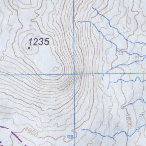
CONTOUR LINES
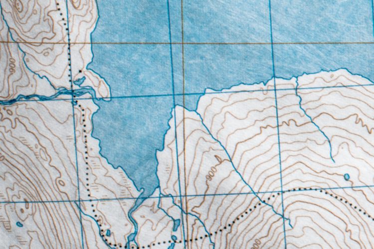
Contour lines show the shape of the terrain and changes in elevation. They help you identify mountains, valleys and ridges. The closer the lines are to each other, the steeper the terrain.
LOCAL VARIATIONS
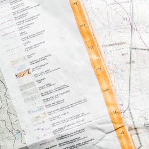
On most maps, north is at the top. However, symbols, markings and mapping standards may vary between countries and map publishers. Always check the map legend when navigating in a new area.
USE THE MAP TO MEASURE DISTANCES
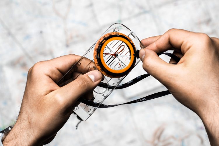
A map is a scaled-down representation of reality. To estimate distances, use the map scale together with the ruler on your compass.
If your compass does not have the same scale as the map, you can use the standard ruler. On a map with a scale of 1:50,000, for example, 1 mm on the map represents 50 metres in reality.
ORIENT THE MAP TO NORTH
A simple way to use a map and compass together is to orient the map to north. Align the map’s meridians with the compass needle. This ensures that the map matches the terrain around you.
Regularly check your position on the map while hiking, running or paddling. When the map is correctly oriented, it becomes easier to follow your route and make the right decisions along the way.
NAVIGATE USING THE TERRAIN
Keep an eye on clear landmarks along your route, such as streams, lakes, hills, trails and roads. By comparing the map with the terrain around you, it becomes easier to stay on course and find your way.
THERE ARE SEVERAL NORTH POLES
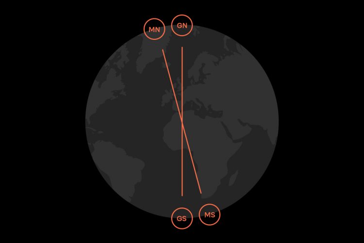
There are at least four north poles – some say there are even five. For navigation with a map and compass, however, two are especially important: the geographic north pole, which maps are based on, and the magnetic north pole, which your compass needle points to.
ONE OF THEM MOVES
The Earth is surrounded by a magnetic field that stretches between the magnetic north pole and the magnetic south pole. This magnetic field is created by movement in the Earth’s outer core, where molten metal is constantly in motion.
As the magnetic field changes, the magnetic north pole moves as well. This means that a compass needle does not point to a completely fixed location on Earth, but to the current position of magnetic north.
MAGNETIC DECLINATION
The difference between geographic north (shown on the map) and magnetic north (where the compass needle points) is called magnetic declination, or simply declination. To navigate with a high degree of accuracy, you may need to account for this difference.
DECLINATION VARIES
Declination varies depending on where you are in the world. In some locations, the difference between geographic north and magnetic north is small, while in others it can be much greater.
Because the magnetic north pole is constantly moving, declination also changes over time. This is why it is important to use an up-to-date map and to take declination into account when navigating in areas where the difference is significant.
DECLINATION ADJUSTMENT
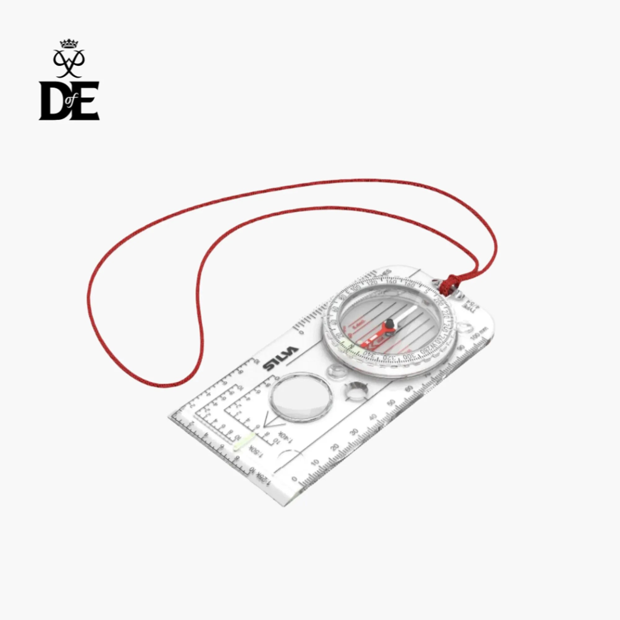
Most Silva compasses feature a declination scale in the compass housing, making it easier to compensate for declination. Some models also include a small screwdriver integrated into the lanyard lock, allowing you to make a permanent declination adjustment.
FIND YOUR COMPASS

Thumb compass for orienteering with Spectra speed dial

Thumb compass with Spectra speed dial – for smaller hands
Perfect when travelling
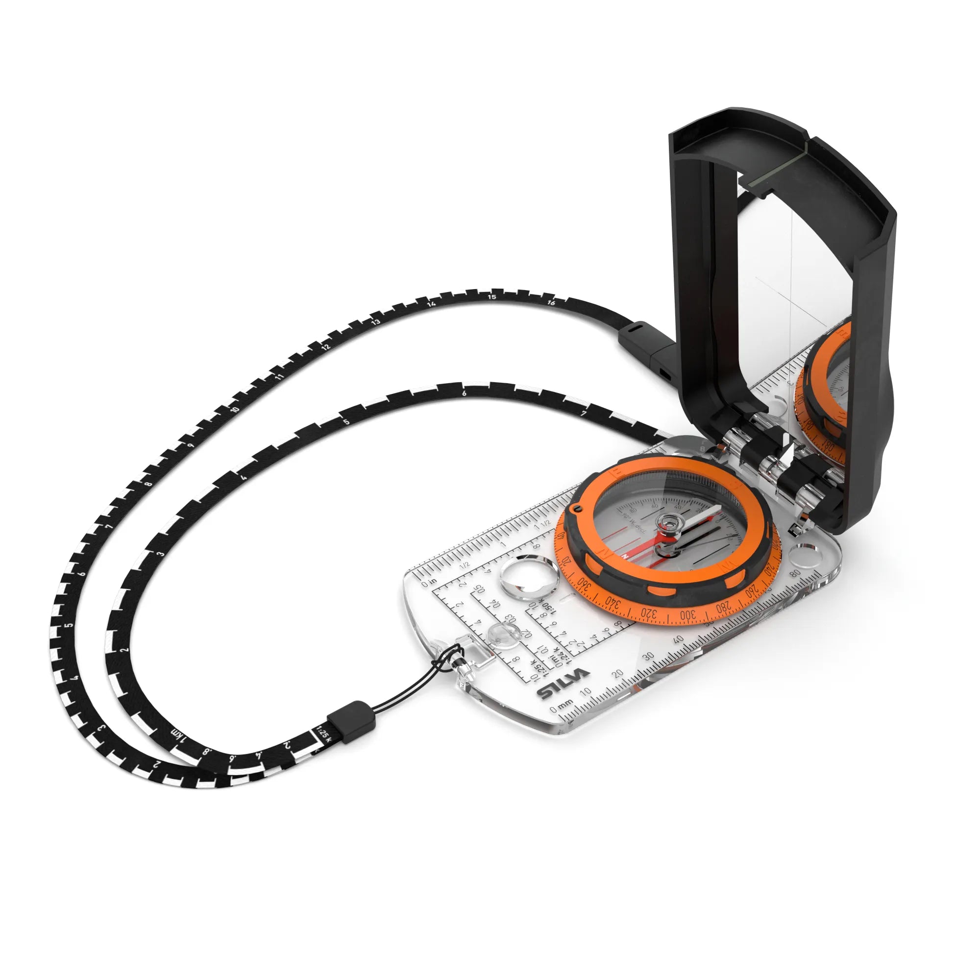

Mirror sighting with sighting hole
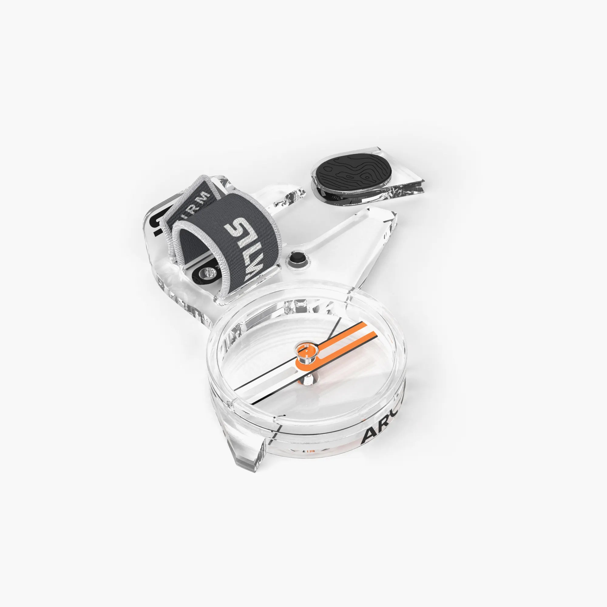

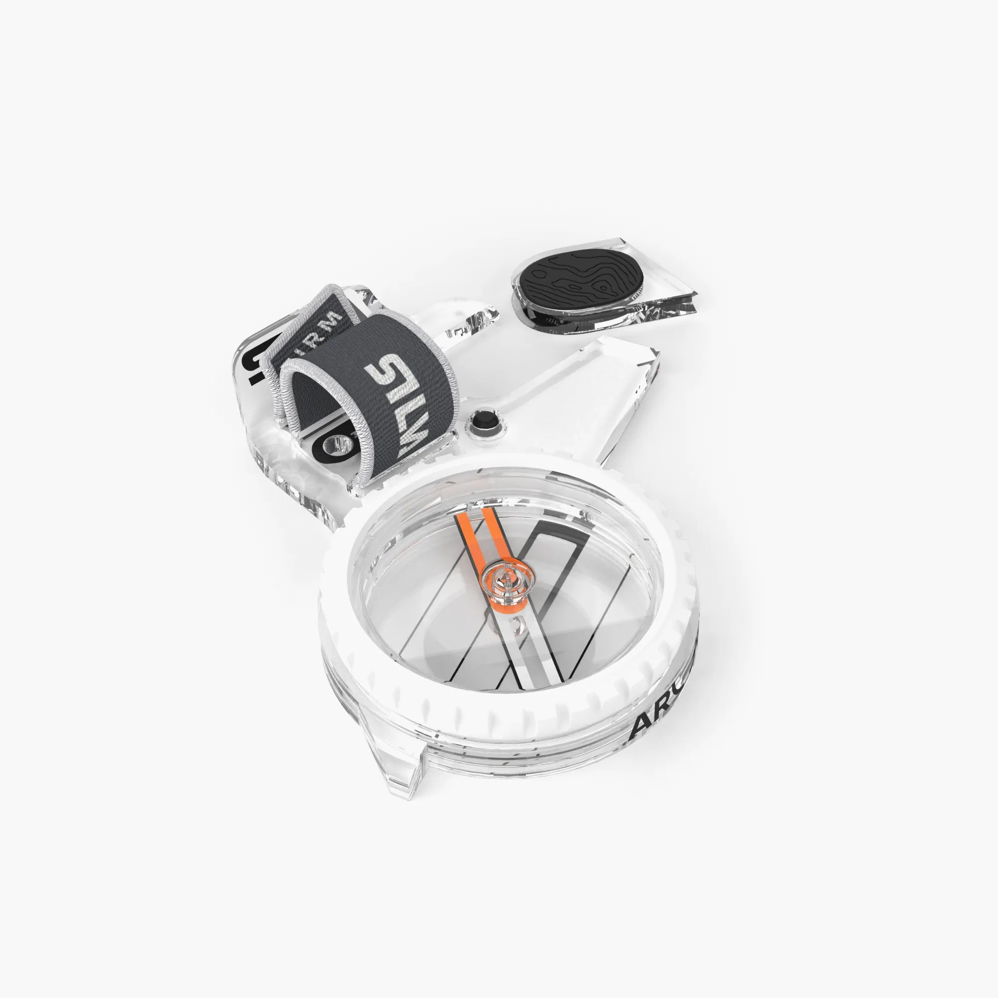
Thumb compass for orienteering with fixed capsule

Thumb compass for orienteering with rotating capsule

An advanced level compass
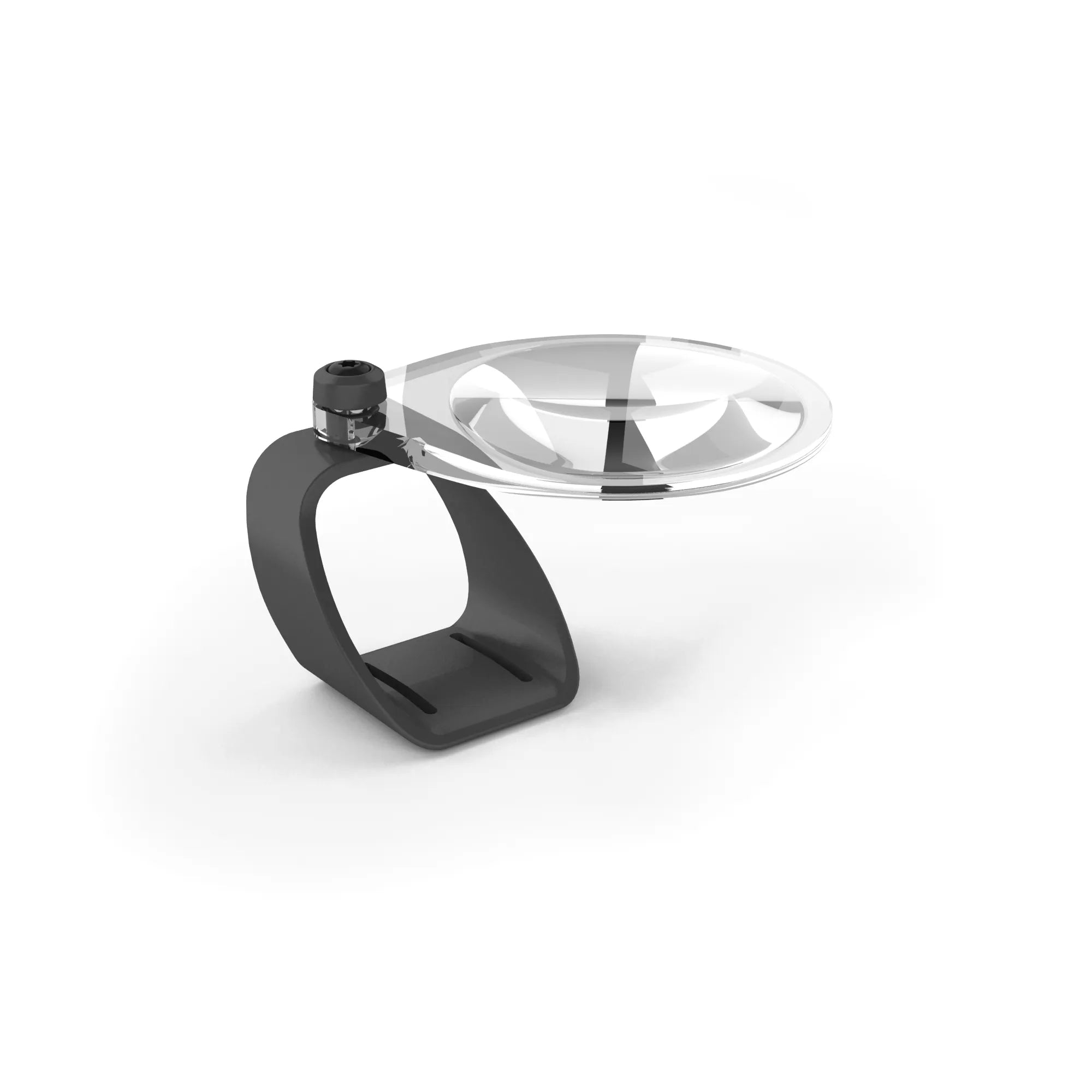
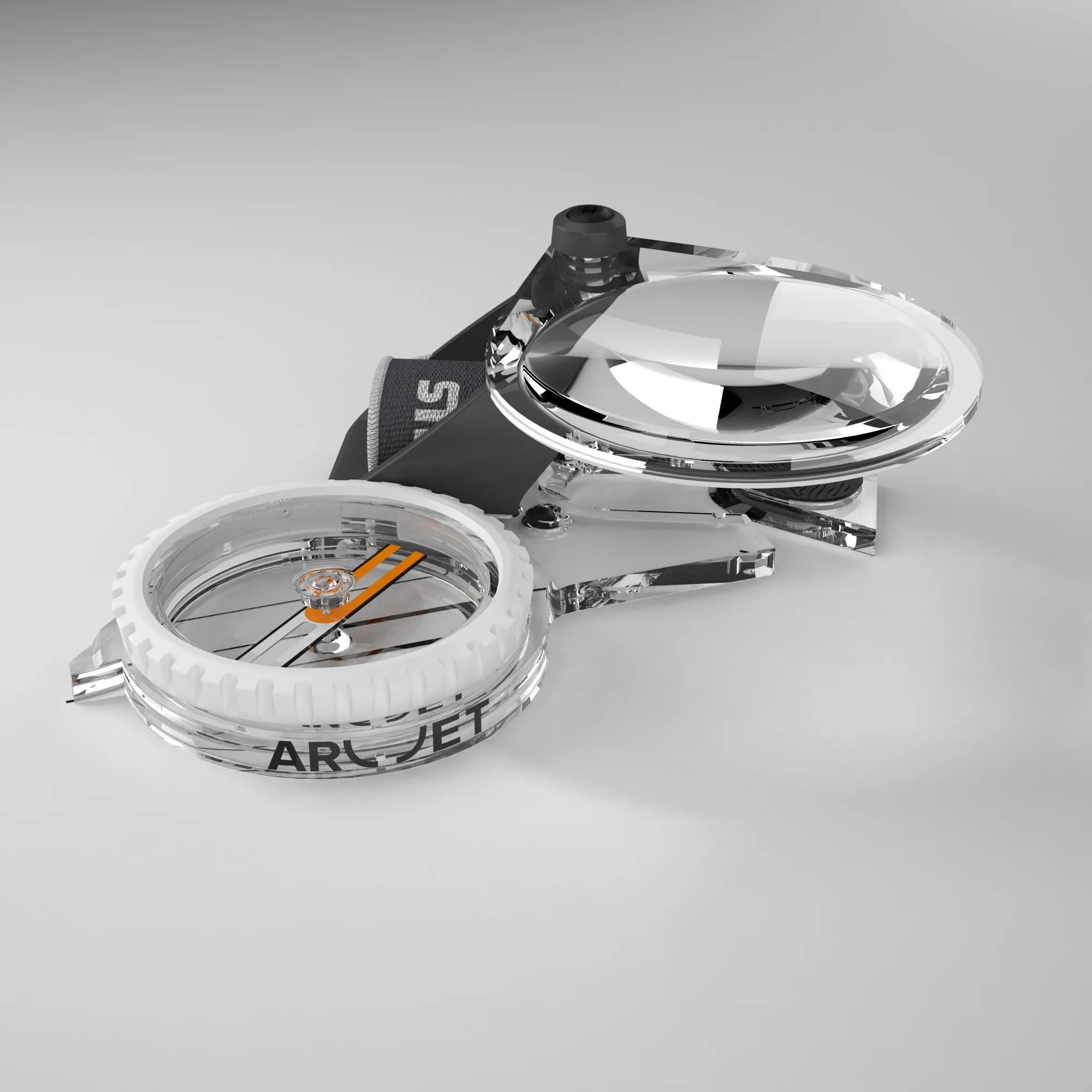
Magnifier for Arc Jet thumb compasses

Thumb compass for orienteering – for smaller hands
Orienteering markers
DISCOVER MORE IN OUR COMPASS SCHOOL

Discover the Arc Jet and Spike Jet orienteering compass series with the Jet 2.0 needle, developed together with Tove Alexandersson and the Swedish Orienteering Association.

With the three simple steps of the Silva 1-2-3 System, you'll learn how to use a map and compass to take a bearing and follow it in the terrain.
Learn about the parts of a compass and how they work. We cover everything from the direction of travel arrow to magnetic zones and declination.
Which compass is right for you? Discover the differences between a baseplate compass, a sighting compass and a compass with a global needle.

Learn the basics of map reading. Understand map colours, contour lines, distances, north poles and declination for safer navigation.

Learn how to plan your trip, navigate safely and use a map and compass in practice. Five simple tips for safer navigation in the outdoors.
Are you in the right place
Please select your store